Select NOAA-NWS Forecast Office Text Products
(Product availability varies with seasons, forecast office, and weather.)
Hazardous Weather Outlook for Omaha, NE
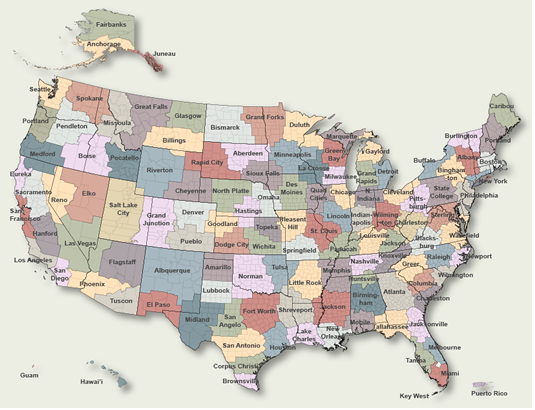
To Select Another NWS Office Click on Map or Choose from List
|
| Select Forecast Office: | Select Product: |
257 FLUS43 KOAX 012042 HWOOAX Hazardous Weather Outlook National Weather Service Omaha/Valley NE 342 PM CDT Wed May 1 2024 IAZ043-055-056-069-079-080-090-091-NEZ011-012-015>018-030>034- 042>045-050>053-065>068-078-088>093-021045- Monona-Harrison-Shelby-Pottawattamie-Mills-Montgomery-Fremont- Page-Knox-Cedar-Thurston-Antelope-Pierce-Wayne-Boone-Madison- Stanton-Cuming-Burt-Platte-Colfax-Dodge-Washington-Butler- Saunders-Douglas-Sarpy-Seward-Lancaster-Cass-Otoe-Saline- Jefferson-Gage-Johnson-Nemaha-Pawnee-Richardson- 342 PM CDT Wed May 1 2024 This Hazardous Weather Outlook is for portions of southwest Iowa...west central Iowa...east central Nebraska...northeast Nebraska and southeast Nebraska. .DAY ONE...Tonight and Thursday Strong to severe storms are expected to develop tonight into Thursday morning. The greatest threats will be large hail and flash flooding due to heavy rain. .DAYS TWO THROUGH SEVEN...Thursday night through Wednesday Severe weather may return to the area on Friday night and again on Monday evening. .SPOTTER INFORMATION STATEMENT... Storm reports, flooding reports, and rainfall totals are appreciated. $$ |
Previous Hazardous Weather Outlooks may be found at
NWS Omaha, NE (OAX) Office Hazardous Weather Outlooks.
(Click 'Previous Version' there to view past versions successively.
Some may differ only in time posted.)
Products Courtesy of NOAA-NWS
NWS Information Parsing Script by Ken True at Saratoga Weather - WFO and Products Scripts by SE Lincoln Weather.
Mapping by Curly at Michiana Weather and by Tom at My Mishawaka Weather.